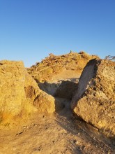
Here are some pictures from Ensign Peak, the very short 0.8-mile round trip hike up to the famous hill where Brigham Young and his crew surveyed the valley and made a plan for the city. From our Airbnb downtown, it was only about $8 to take a Lyft to the trailhead in a very residential neighborhood. It’s only a 350-foot elevation gain to the top, but since the trail starts at over 5000 feet elevation, you get pretty spectacular views of the valley below. Although there were quite a few people on the trail and enjoying the views from the top, it wasn’t overly crowded. It was a perfect place to see the sunset (and, had we stayed a couple more hours, I’m sure it would have been a great place to see the stars).


